
 Login
Login


Hydrographic Service
- CLIENT:
- HYDROGRAPHIC SERVICE OF THE NAVY
- OBJECT:
- Maritime Geographic Information System Development of the Navy’s Hydrographic Service
- YEAR:
- 2007
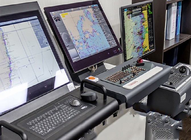
Brief Description of the Project
SPACE HELLAS participated in the Companies’ Association “Intracom IT Services – SPACE HELLAS”, and following a public tender conducted by the KtP S.A. has undertaken on March 2007 the implementation of the project «Maritime Geographic Information System Development of the Navy’s Hydrographic Service» on behalf of the Hydrographic Service of the Navy.
The scope of the
project is to create an infrastructure for the automation of procedures concerning
the management and processing of Marine Space Geographic Information that
applies to the Hydrographic Service, as well as the development of a management
and diffusion system through the Internet of the critical information collected
and processed by the Hydrographic Service.
The project individual objects are the following
-
The development of a process, production and management subsystem of Geographic information (Hydrographic, Cartographic, Maritime, Oceanographic, etc.).
-
The design and development of a Cartographic Data Base and of an index with Cartographic background.
-
The supply and installation of the necessary equipment components and system software.
-
The training of the Hydrographic Service’s Staff concerning the function and maintenance of the new systems in various levels of specialization.
-
The Technical Support Services Provision covering issues of proper use and management of applications as well as of equipment components or software failure.
-
The development of a management and diffusion of Information subsystem through the Internet.
-
The digitization of analogue bathymetric and topographic diagrams, the digital process of existing digital bathymetric and topographic diagrams, the creation of metadata and other supporting digital files and the transition of selected digital data in the Cartographic Data Base.
-
The Computer Center configuration of the Hydrographic Service where the new systems will be installed.
-
The integration of the new systems with the existing IT and communication infrastructures of the Hydrographic Service.